
Trace a Yarmouth Street
A Yarmouth street directory result is strongest when it follows one physical address through several custodians. The Yarmouth assessor can identify the parcel and owner of record. The Yarmouth map can show the parcel beside the next polygons. The Barnstable County Registry of Deeds can then connect a named owner to instruments and plans. None of those Yarmouth sources, by itself, names every person who stays at an address. A dated Yarmouth voter list or a historical Yarmouth directory can add a residence lead, but each has different limits. Keep the Yarmouth result dated and describe it as an owner, a registered voter, or a directory entry, rather than treating it as a complete household list.
- Confirm the Yarmouth number, street spelling, village label, and delivery ZIP with the town precinct table and USPS. A side of the street can matter.
- Run the exact Yarmouth address in the Yarmouth Vision assessor search. Save the situs address and the MBLU or PID before moving to another source.
- Open the same parcel in the Yarmouth GIS viewer. Compare its polygon with adjacent Yarmouth parcels and note any layer disclaimer.
- Search the Yarmouth owner name in the Barnstable Registry grantor-grantee index. Record the instrument, date, party names, and book/page or document number.
- For a dated Yarmouth residence question, ask the Yarmouth Town Clerk about a public local voter list or consult the verified historical address sources. Do not infer more than the record says.
The Yarmouth online route is useful for discovery. When an old Yarmouth plan, map, or list is not online, the fallback is the custodian: Yarmouth Engineering for street and tax maps, the Town Clerk for local election records, and Registry staff for a print procedure or search question.
Yarmouth Street Numbers and ZIPs
The Yarmouth precinct street table is a practical first check for a Yarmouth street search. It records a street name, low and high number ranges, odd, even, or both-side coding, precinct, and ZIP assignment. That Yarmouth table is especially useful where one street has different delivery treatment by house-number side. It does not establish ownership or occupancy, but it can prevent a Yarmouth search from starting with the wrong number range or village label.
Yarmouth keeps street layouts, tax maps, GIS base maps, aerial views, and plot or site plans through Engineering. A Yarmouth map may help resolve a changed lot shape or a road that appears differently in an old record. It is not a title opinion. The Yarmouth assessor record, Registry image, and a professional survey each have their own role in an address trail.
See the Town of Yarmouth Maps and Plans collection for the public map and plan sources used to orient an address.
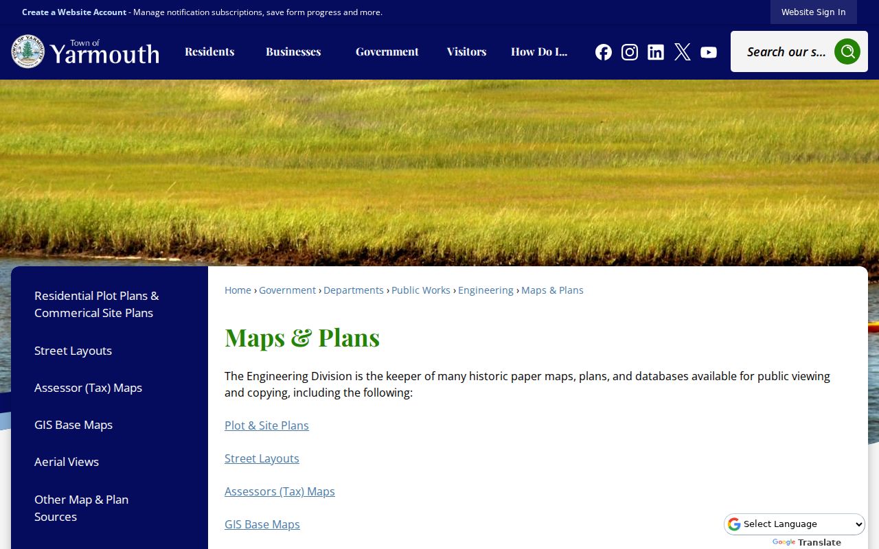
The Yarmouth collection points to the map types that can explain a Yarmouth street, while the actual parcel and deed records remain the better evidence for a particular Yarmouth property.
Search Yarmouth Street Parcels
The Yarmouth Vision property search is the fastest official starting point for a current Yarmouth street address. The Yarmouth service is free to use and its welcome material describes FY2025 values as of January 1, 2024, with tax-rate history displayed through 2026. The town cautions that its Yarmouth values are informational and may be dated. Treat the card as an assessor record, not as legal proof of a boundary or a complete list of residents. The Yarmouth Assessor is at 1146 Route 28 and is generally available Monday through Friday, 8:30 to 4:30, at 508-398-2231 ext. 1222.
| Vision control | How a Yarmouth street search uses it | Format note |
|---|---|---|
| Property Lookup | Enter the chosen address or property identifier. | Partial-match behavior is not stated. |
| Search mode | Choose Address, Owner, Acct#, Mblu, or PID. | One mode is selected for a search. |
| Map, Block, Lot, Unit | Stabilize the property identifier after a result. | These are MBLU-related controls. |
| Street Listing | Browse a street-oriented listing where available. | Useful after the exact street is known. |
| Sales Search | Find sales-oriented results for a parcel lead. | Subordinate fields were not captured. |
Start with Address, then compare the Yarmouth result with Owner or MBLU if similar streets or names appear. The portal may show owner or co-owner details and a mailing address alongside the situs, which is the physical parcel location. A Yarmouth mailing address can be a post-office box, a care-of address, or another town. It does not show that the recipient lives on the Yarmouth street.
Note: Vision does not list ZIP as a search mode, so a Yarmouth ZIP must be narrowed to an address before this property search begins.
The Vision property lookup shows the address, owner, account, MBLU, and PID choices available for this Yarmouth parcel workflow.
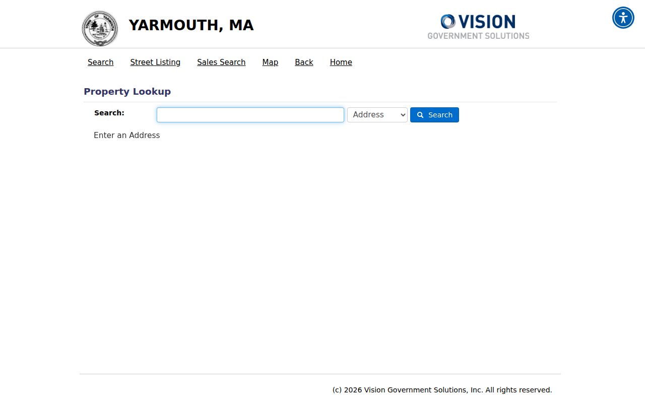
Those controls make the Yarmouth assessor card a reliable parcel starting point, but a Registry deed and map review are still needed for a fuller Yarmouth record trail.
Map Yarmouth Street Parcels
The Town of Yarmouth Interactive GIS Viewer adds the spatial layer to an address lookup. Search or identify the Yarmouth target parcel, select its popup, inspect any assessing or environmental layers, then compare the Yarmouth polygons on either side. The Yarmouth viewer describes its data as assessing information and legal or environmental interests, but it also warns that lines may be generalized, out of date, or wrong for legal use. The dynamic field labels and local popup layout were not available in the research capture, so do not assume a layer or filter that is not visible in the live viewer.
For a second map check, MassGIS property-tax parcels provides statewide data. Its `POLY_TYPE` field can distinguish FEE, TAX, right-of-way, water, private-road, and rail polygons. That distinction matters on Yarmouth streets near shoreline, common land, or roads because an adjacent shape is not always a separately owned home parcel. MassGIS lists Yarmouth in its May 2026 update, with current files created July 2, 2026, but it also says assessor mapping is not authoritative title evidence.
The interactive GIS viewer provides the map-click context for this Yarmouth address search.
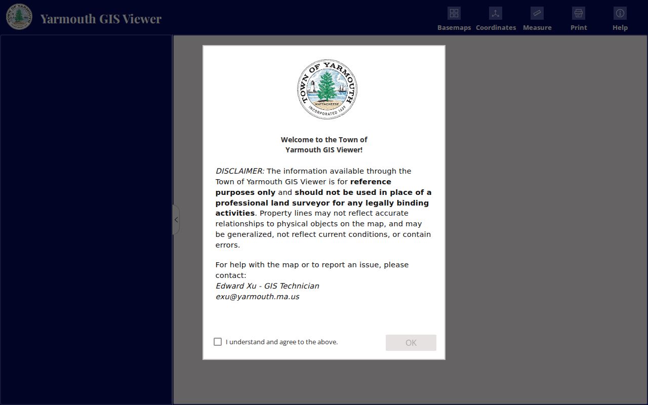
Use the displayed Yarmouth parcel identifiers to move back to the Yarmouth assessor and Registry, and reserve survey or title questions for the appropriate professional records process.
Yarmouth Street Deed Chain
The Barnstable County Registry of Deeds records the ownership side of a Yarmouth address trail. Its property records begin in 1742 and Land Court records begin in 1898. Nearly all indexes and document images are online, though some early records and oversized plans are exceptions. Search the grantor and grantee names, rather than relying on an assumed current owner or an address result. For every likely Yarmouth match, preserve the parties, instrument type, recording date, book/page or document number, and image link. Then search the recent grantee as a grantor in the earlier period.
The Registry distinguishes a title record from Yarmouth municipal assessment data. A deed can show a transfer or legal interest, while the Yarmouth assessor card supplies local valuation and parcel context. The Registry also says an address search is a finding aid, not the official title index. Free images carry a research-copy overlay. The Registry's public-access instructions describe a $1-per-page clean print, along with the print-cart and payment process. For help beyond the online index, use the Registry at 3195 Main Street, PO Box 368, Barnstable, MA 02630, call 508-362-7733, or contact info@Barnstabledeeds.org.
- Parcel
- A mapped unit of land used by an assessor or GIS system. It is a useful search key, not a survey conclusion.
- Situs address
- The physical location of land or a building. It can differ from the address used for tax mail.
- Plat or plan
- A recorded map that depicts lots or lines. It may explain the deed reference but is not automatically a current survey.
- Criss-cross directory
- An address-arranged directory used to find a historical entry by location when that edition has such a section.
Yarmouth Street Plans and Permits
When a Yarmouth street question concerns a building change, a street layout, or a plan reference, Yarmouth Engineering is the right local channel. Its Maps and Plans materials identify Yarmouth historical maps, site and plot plans, street layouts, tax maps, GIS base maps, and aerial views. Ask for the exact Yarmouth street, parcel, plan reference, or date range. Older paper plans may be available for public viewing or copying when an online map does not answer the question.
Yarmouth Online Services also points to Yarmouth OpenGov for permits and Yarmouth Laserfiche for town records. The research did not capture their dynamic field labels, coverage dates, or result behavior. A Yarmouth permit applicant is not necessarily an owner or occupant. If a needed record is not visible, make a focused written request to the department for an existing permit, plan, log, or file rather than asking it to create a list of people on a street.
Note: A plan, permit, or aerial can date work at a Yarmouth address, but it cannot by itself confirm who lived there.
Yarmouth Street Records After 1827
Older Yarmouth address research has a known break in the local county land trail. The October 27, 1827 Barnstable courthouse fire destroyed 93 of 94 land-record volumes, with Book 61 surviving. Probate and clerk records also suffered losses. The 1828 act allowed temporary town registries to re-record qualifying deeds from March 23, 1828 to May 1, 1829. Those Yarmouth Town Books are indexed online and can supply the reconstructed link where an original county volume is missing.
That history is a reason to search sideways, not to declare an early address empty. A later deed recital, mortgage, release, plan, probate inventory, newspaper notice, family file, or an abutter's deed can point to the same place. Before county recording began in 1686, land in the area was recorded in Plymouth County. Keep the book/page, Town Book, or document number exactly as the source presents it, since older and newer identifiers may not match.
Yarmouth Address Record Layers
Each Yarmouth address source answers a narrower question. Combining them lets a researcher distinguish a parcel owner, a delivery location, a dated voter entry, and a historical directory lead. The access route should match the record type. Online portals are useful starting points, while the relevant office, archive, or written request is the next route when an image, map, or dated list is absent.
| Yarmouth address source | Starting key | What it can contribute | Access channel |
|---|---|---|---|
| Vision assessor card | Address, owner, Acct#, MBLU, or PID | Situs, owner of record, tax-mail address, value and sales clues | Free online search; Assessor office |
| Town GIS | Map identify or parcel | Polygon, parcel ID, map layers, neighboring parcels | Free viewer; GIS and Engineering maps |
| Registry deed index | Grantor, grantee, book/page, or document | Transfer parties, instrument, recording and image | Free online research; phone, office, clean print |
| Town Clerk voter list | Specified list date and street | Public fields in a dated local list, subject to exclusions | Clerk inquiry or written public-records request |
| Engineering or permit file | Street, parcel, plan, or date range | Street layout, plan or permit evidence | Online Services where available; department request |
| Historical directory | Printed street, name, and village wording | Address-arranged historical lead when present | Library, archive, and historical collections |
Massachusetts voter status search is different from a Yarmouth street search. It requires a person's first name, last name, date of birth, residential ZIP, and acknowledgment, and the state says it is for an individual's own status. The Yarmouth Town Clerk holds local voter lists. Public local Yarmouth lists may include name, address, party, date of birth, status, and voter ID, while confidential voters, minors, phone and email fields, veteran status, and permanent-absentee status are excluded.
Yarmouth Historical Street Sources
Historical address work needs the wording printed at the time, not a modern ZIP assumption. The State Library verifies Yarmouth directory holdings for 1895 and 1901. NARA lists regional Barnstable, Falmouth, and Bourne volumes with Yarmouth-related coverage for 1903, 1908, 1926, and 1929. A directory or newspaper may offer a dated address clue, but it does not prove a permanent residence or ownership. Pair it with an assessor, deed, census, obituary, or town record when the question needs more support.
The verified years do not form a complete run, and no official source located a complete local reverse-directory layout for every edition. For collection access and how to read those volumes, use the Yarmouth City Directory collections. Search the edition's village and street spelling, then test nearby numbers rather than silently converting an old location to a current format.
Note: A gap between Yarmouth directory years is an evidence limit, not proof that a person or address disappeared.
Yarmouth Street Search Limits
A Yarmouth street search cannot turn property and map results into a complete occupant roll. A Yarmouth owner can use a different tax-mail address, a Yarmouth parcel can contain no residence, and a public entry can reflect a date that has passed. A Yarmouth voter list, directory, deed, and map record different relationships to a place. Protected Yarmouth addresses, sealed material, restricted vital information, and confidential voter records must not be republished simply because another address source appears public.
Lawful use. Use Yarmouth street records for personal, lawful research and civic or family-history questions. Do not use them to stalk, harass, intimidate, or harm any person.
Massachusetts Address Confidentiality Program participants may use a substitute address, and court rules can protect an actual address in public proceedings. When a result raises a safety concern, retain only the minimum source detail needed for research and consult the appropriate custodian instead of sharing it.