
Yarmouth Previous Resident Sources
Previous residents of a Yarmouth address are found through dated layers, not one complete list. Start by fixing the present parcel, then choose the source that fits the period. The assessor and GIS identify the modern parcel. Registry records trace ownership. Historic directories, town reports, maps, cemetery material, newspapers, and house files can add the household story. Each source answers a narrower question, and none alone proves every person who lived at an address. Keep the address form, parcel identifier, book and page, year, and source citation together as the trail moves backward.
| Source | Years It Covers | Where Held | What It Shows |
|---|---|---|---|
| Barnstable Registry deeds | 1742 to present, with early-volume loss | Registry public search and Barnstable office | Recorded parties, instruments, dates, book/page or document references |
| Town Books | 1790 to 1827 re-recording period | Town-indexed Registry material | Reconstructed deed trail after the courthouse fire |
| State Library Yarmouth directories | 1895, 1901 | Massachusetts State Library holdings | Name and address snapshots, subject to page inspection |
| NARA regional directory lead | 1903, 1908, 1926, 1929 | National Archives listing | Regional Yarmouth-related directory coverage to verify in the volume |
| Sanborn maps | 1932, 1932 to 1938, 1959 | State Library map holdings | Built-address and footprint context, not title or occupancy proof |
| Assessor, GIS, and Registry | 1950s to present | Town and county access routes | Parcel, owner-of-record, sales, assessment, and plan comparison |
For a recent address, begin with the parcel. For a pre-fire land question, expect a break in the county books and test the Town Books. For a household question, use a verified directory year or local-history collection alongside the ownership trail. A current assessor card may name an owner of record while a historical directory names a household. Those are different facts and should stay labeled that way.
Yarmouth Previous Residents Begin
Stabilize the modern location before searching a historical name. The Yarmouth Vision property search accepts Address, Owner, Acct#, MBLU, and PID, and it offers Street Listing, Sales Search, and Map controls. An MBLU is the map, block, lot, and unit-style parcel identifier used by the assessor. Search the address, then save the MBLU or PID and compare it with the current map. The portal says its values are informational and not a legal document, so use it to establish a research starting point rather than a final boundary conclusion.
The address chain is: present street address to assessor MBLU or PID, then parcel map, then Registry deed reference, then prior party names and instruments. Owner and mailing information can differ from the physical, or situs, address. That distinction prevents a tax-notice address from being treated as evidence of who lived at the parcel. Note: Preserve the assessor’s field labels and the date checked because mapping and assessment information can change.
Yarmouth Previous Owners' Deed Chain
The Barnstable County Registry of Deeds is the county source for the recorded ownership trail. Its property records begin in 1742, and Land Court records begin in 1898. Nearly all indexes and document images are online, though some very old records and oversized plans are exceptions. Search by grantor and grantee rather than an assumed current owner alone. Record the instrument type, recording date, party names, book and page or document number, and image reference. An address result can help locate a deed, but the Registry warns that it is not the official title index.
The Registry’s public-access instructions explain the free research index and images, pop-up requirement for printing, and the clean-copy order process.
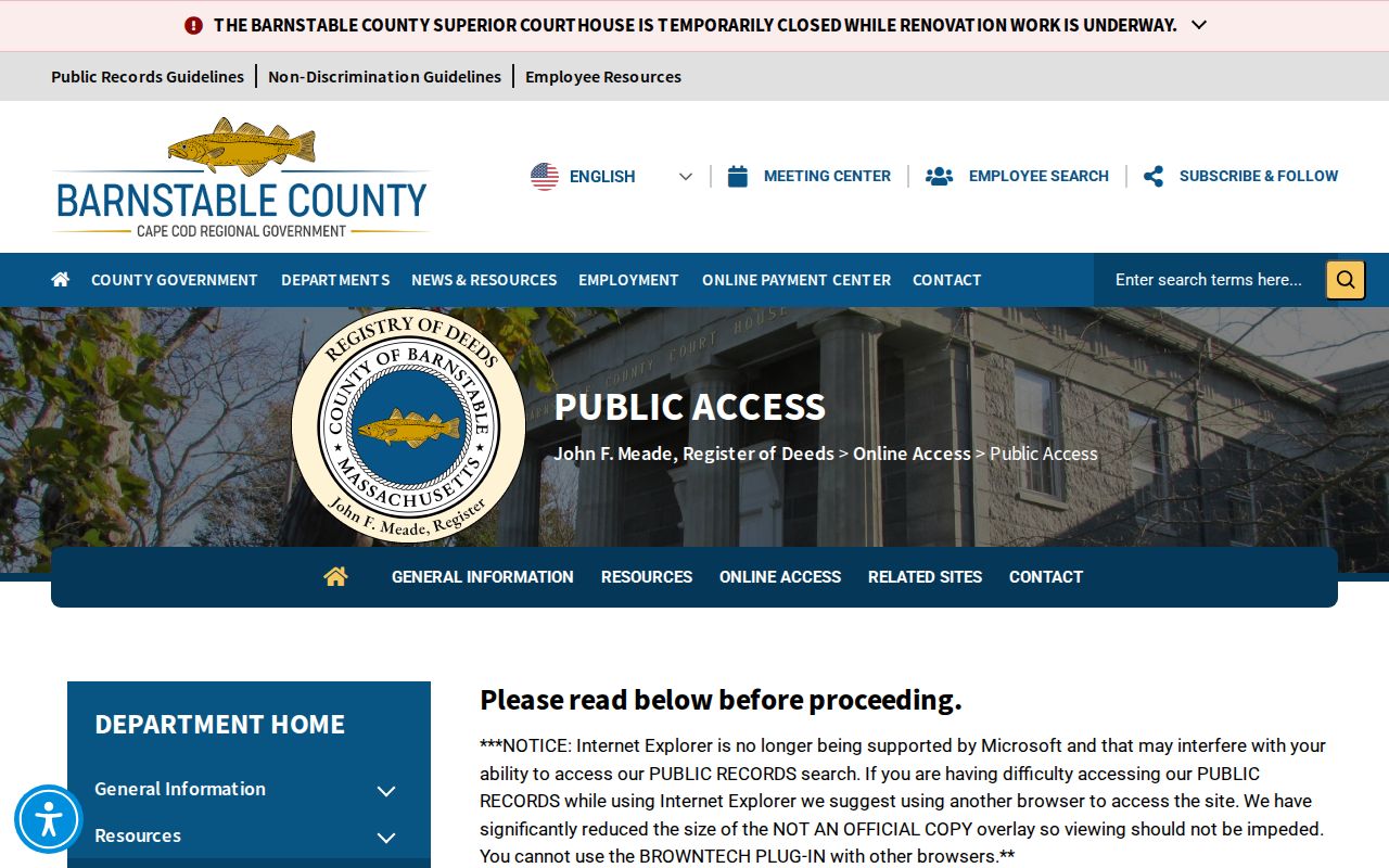
Free downloaded images are research copies. A clean print copy costs $1 per page, with the listed credit-card convenience fees or a Cape View account as payment options. The Registry office is also the in-person fallback at 3195 Main Street in Barnstable, with phone assistance at 508-362-7733. The Public Records Access Officer route is available by email or mail, although the Registry asks searchers to use the free online search for deeds and plans when possible.
- Pull the present parcel’s owner of record, address, and MBLU or PID from the assessor record.
- Find the most recent recorded instrument in the Registry index and save its parties, date, type, and book/page or document number.
- Search the buyer in that deed as a later seller, using spelling variants and initials when needed.
- Repeat the sequence backward, collecting linked mortgages, releases, plans, easements, and prior instruments where they clarify the parcel.
- When the chain reaches a gap, registered-land branch, Town Book, or oversized plan, use the Registry office route rather than filling in an unverified link.
- Grantor and grantee
- The grantor transfers an interest in a deed; the grantee receives it. Their roles can reverse in an earlier transaction.
- Chain of title
- The sequence of recorded instruments used to trace an interest in the same parcel backward through time.
- Legal description
- The deed or plan description that identifies land more reliably than an address when streets, numbers, or local labels change.
Past Yarmouth Residents After Fire
The October 27, 1827 Barnstable courthouse fire is the central break in an early Yarmouth deed trail. It destroyed 93 of 94 land-record volumes, leaving Book 61. Probate and clerk records also suffered losses. That means a missing early deed does not prove that a family or transaction was absent. Recording began in 1686, while land records before then were kept in Plymouth County. The fire changes the method, not the need for evidence.
An 1828 act allowed temporary town registries to re-record qualifying deeds during a limited period, and the resulting Town Books are indexed and online. Test a missing county volume against a Town Book, later deed recital, mortgage or release, plan reference, probate inventory, annual report, newspaper legal notice, HSOY family file, or an abutter’s deed. Label the result as reconstructed when the original volume is gone. This local records story is why a careful Yarmouth address history may have a documented gap instead of a smooth chain.
Yarmouth Previous Land Court Trail
Land Court records begin in 1898 at the Barnstable Registry. When a parcel is registered land, check that branch as well as the regular deed index. A plan can provide lot and line context, but it is not the same as a current survey. The state and town mapping layers carry their own accuracy limits, while Registry instruments track recorded title material. Keep the document’s own reference, whether it is book/page, a document number, or a Land Court identifier.
Later records are easier to search online because Registry digitization put records in computer format by 1999, scanned book images, and added e-filing in 2014. Still, early materials, oversized plans, and clean-copy needs can require office support. Phone before an in-person trip and state the document type, approximate date, property town, and whether a research image or clean copy is needed. That gives staff a precise request without asking them to reconstruct a household history.
Yarmouth Past Resident House Files
HSOY is the strongest local bridge between a recorded deed and the people associated with an old address. Its Yarmouth Houses file can connect an address to former occupants, alterations, maps, photographs, and family files. The archive also describes diaries, postcards, local genealogies, National Register material, MACRIS records, and a family-name card catalog. Bring the address, approximate period, surname variants, and one focused question. An appointment is strongly suggested, and volunteers can gather relevant material.
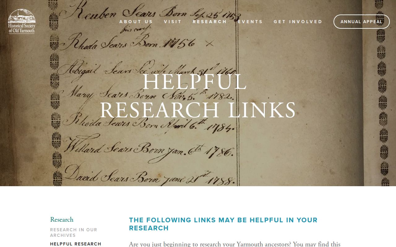
The Historical Society’s helpful local research links connect deeds, Laserfiche town records, annual reports, newspapers, cemeteries, maps, libraries, and FamilySearch.
Use the house file as a research lead and compare it with a deed, map, directory, newspaper, or cemetery record. HSOY notes that rare early Cape grave markers can be wood or rocks, so a missing stone does not establish that a family was absent. Its maps dated 1795, 1830, 1858, and 1880 can also explain an old village or road reference that no longer matches a current display.
Yarmouth Past Households
Owners are only one layer of the story. For people who lived at an address, test the verified State Library Yarmouth directory years of 1895 and 1901, then the 1903, 1908, 1926, and 1929 regional leads. The NARA directory listing identifies the regional volume, but the local pages and arrangement must still be checked. The historical collections are detailed on the Yarmouth city directory page. Place a household in the address trail without assuming that a printed entry proves continuous occupancy.
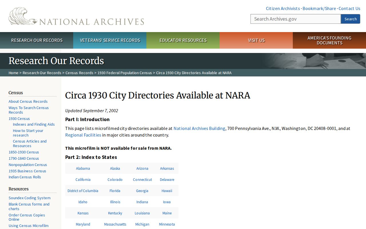
The National Archives directory holdings page is a lead for locating the regional editions that may contain Yarmouth material.
After checking a directory page, compare it with a town annual report, newspaper notice, cemetery record, deed, or family file. A directory can list one adult, use initials, omit a boarder, or record a business address. Each hit is a dated lead, and it should retain its page number and edition title.
- Place the address beside each verified directory year and copy its street form exactly.
- Search the surname, initials, former surname, village label, and nearby address numbers in the next surviving edition.
- Compare the result with the closest available census year, while keeping the source and date of each record distinct.
- Use an obituary, cemetery source, town report, or probate trail to test a disappearance from the address.
Federal census material, directory books, and local reports can all use a different address form. Do not force them to match. Preserve the original wording first, then explain any connection only when an independent record supports it.
Yarmouth Previous Address Maps
Map the building separately from the ownership chain. The State Library’s Sanborn listing has Yarmouth sheets for November 1932, 1932 to 1938, and 1959. Those sheets can help explain a building footprint, use, or lot context. HSOY’s older map material and Yarmouth Engineering’s maps and plans offer more routes when a street form changes. Engineering is the town contact for historical map copies, paper plans, street layouts, assessor tax maps, GIS base maps, and aerial views.
A permit, plot plan, street layout, or aerial may date an addition or describe a location, but a permit applicant is not necessarily the owner or occupant. Current GIS parcel boundaries may be generalized or dated. Compare them with a Registry plan for recorded context, and seek a professional survey for a legal boundary question. Note: Map evidence can explain an address, but it does not replace a deed, survey, or household record.
Yarmouth Previous Resident Limits
Stop where the record trail stops. A gap can reflect the 1827 fire, an incomplete index, a regional directory that omits the town, a changed street label, a former name, a seasonal listing pattern, or a source that was never created. Do not convert a sequence of leads into a claim that every person lived at the address. The best final note separates recorded owner, listed household, map context, and unverified inference.
When an online search fails, the fallback chain is concrete: Registry office staff and public-access channels for deeds; Yarmouth Engineering for historical plans; Yarmouth Port Library and Sturgis for reports and microfilm; HSOY for local files; and a written Massachusetts Public Records Law request to the department that actually maintains an existing town record. Ask for a defined record series and date range rather than a new compilation of people.