
Yarmouth Neighbors on One Block
Public records can describe the block around a Yarmouth address, but they do not create a current household roster. The strongest starting point is the parcel itself: its polygon, identifier, and owner-of-record fields. Add a local voter list only through its stated public-record route, and use historic directories or maps as dated context. Each source speaks to a different point in time and a different relationship to the address. That is the key to looking up neighbors without overstating the evidence.
| Block source | What It Shows Around an Address | Access |
|---|---|---|
| Yarmouth Interactive GIS | Selected parcel, adjacent polygons, and available assessing or environmental layers | Free map viewer with a non-legal-use disclaimer |
| VGSI assessor Street Listing | Address sequence and links to owner-of-record property cards | Free informational search |
| Barnstable Registry plans and deeds | Recorded lines, instruments, easements, and named parties | Free research index and images; clean copies cost extra |
| Yarmouth local voter list | Public local-list fields for a specified list date | Request through the Town Clerk, with withheld fields excluded |
| Historic directory or Sanborn map | Older street context, names, building footprints, and lot use | Library, archive, or collection route |
| Civic associations | Neighborhood vocabulary, beach, road, and community context | Public association names, not membership lists |
Owner of record and present occupant are not the same finding. A tax mailing address can point to another town, a post-office box, or a care-of address. A street-side result can also include a road, water, common area, or a separate legal parcel. Yarmouth neighbors are best understood as a record-by-record block relationship, not a single list.
Yarmouth Neighbor Parcel Geometry
The Town's GIS page links the Interactive GIS Viewer, ArcGIS Hub, downloadable maps, and related mapping resources. In the viewer, search or identify the target parcel, record its MAP_PAR_ID, PID, or MBLU when displayed, and click the neighboring polygons one by one. The popup can expose public assessment or owner information and available layers. Compare what the map shows with the assessor tax map before treating a shared edge as an abutting property relationship.
The viewer's metadata describes assessing information and legal or environmental interests, but it expressly disclaims legal use. Parcel lines can be generalized, older than the latest change, or otherwise inaccurate. A survey or the Registry's recorded plan controls a legal-boundary question. For a Yarmouth neighbor search, the map is a way to choose the next record, not final proof about a line or household.
- Enter or identify the target Yarmouth address and save the parcel identifier displayed by the map or assessor card.
- Click each touching or nearby polygon, noting its parcel identifier and the public owner-of-record fields.
- Use the VGSI Street Listing or address search to place parcels in the street sequence and compare situs with mailing address.
- Check a Registry deed or plan when the question concerns an easement, common line, or recorded abutter reference.
- Keep the map date and the source limits with each result, then stop where the public record stops.
A whole named street calls for a different workflow. The Yarmouth street directory follows address-keyed records along the street, while this block method stays focused on adjacent parcels and local context.
Yarmouth Neighbors by Parcel Type
MassGIS property-tax data supplies a useful cross-check when the local viewer makes a block look more continuous than the legal parcels may be. Its POLY_TYPE field distinguishes fee parcels from tax parcels, rights-of-way, water, private rights-of-way, rail rights-of-way, and other mapping types. A touching shape can therefore be a street or water feature rather than land tied to a nearby household. The state also says that municipal assessor mapping represents boundaries, not authoritative title.
The MassGIS property-tax parcel data page documents the field definitions, update information, downloads, and the boundary warning that applies to this cross-check.
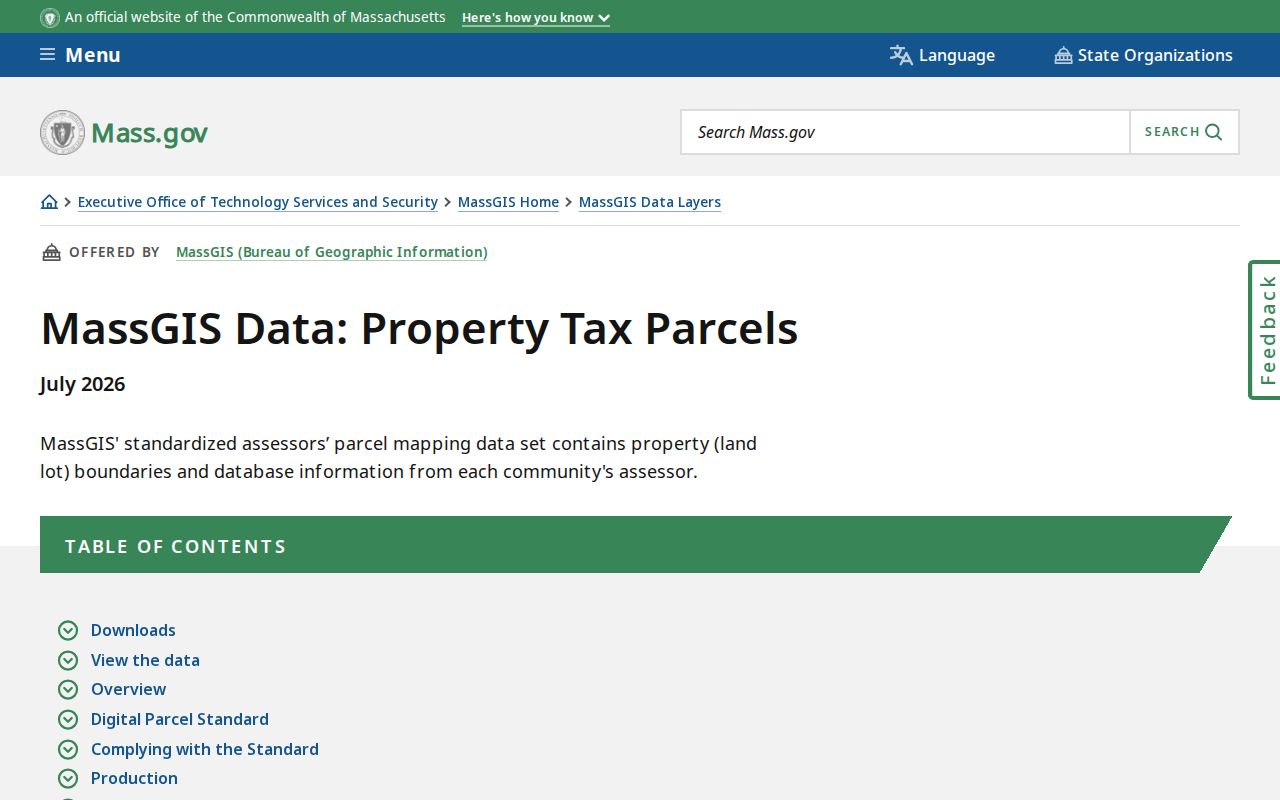
Yarmouth was included in the MassGIS May 2026 parcel update, and the then-current files were created July 2, 2026. That is useful current mapping context, not a promise that every parcel line is a survey. Compare the local viewer, assessor record, and Registry plan before drawing conclusions about who counts as a neighbor.
Note: A parcel polygon describes mapped land geometry, while a person name requires a separate source and a carefully dated interpretation.
Map a Yarmouth Neighbor Block
The Yarmouth assessor portal offers Address, Owner, Acct#, MBLU, and PID search modes, plus Street Listing, Sales Search, and Map controls. Use those identifiers to stabilize a parcel after choosing it in GIS. The assessor card may report owner or co-owner, a mailing address, valuation data, sale information, and book or page references. It is informational rather than a legal document, and a mailing field is not proof of occupancy.
The Barnstable Registry provides the recorded layer. Search the owner name and the instrument reference from the assessor card when one is shown. A Registry result can identify grantor or grantee, document type, recording date, book or page, document identifier, and an image link. Research access to the index and images is free, but the Registry describes a clean print copy as a separate paid order. Use the plan image for context, and do not substitute it for a current survey.
Neighbor research can also require old maps. Yarmouth's verified Sanborn holdings include 1932, 1932 through 1938, and 1959. They can show building footprints, use, and lot context in those years, not current title or a current household. The historical record is most useful when it is labeled by date and compared with the current parcel.
Yarmouth Neighbors and Voter Lists
Massachusetts separates an individual's voter-status search from the local public voter list. The online status tool requires first name, last name, date of birth, residential ZIP, and an acknowledgment that the lookup is intended for an individual's status. It is not a browseable Yarmouth neighbor directory. M.G.L. c.51 §64 describes the limited returned status and polling-place categories for that tool.
For a block-level records question, ask the Yarmouth Town Clerk and registrars for a specific local list date, the public fields needed, and the preferred inspection or copy format. The Secretary's voter guidance says a public local list may include name, address, party, date of birth, active or inactive status, and voter ID. Phone, email, veteran status, permanent absentee status, confidential voter records, and minors' records are withheld. No Yarmouth-specific file request form or fee schedule was located, so the request should ask the clerk what can be released under M.G.L. c.51 and the Massachusetts Public Records Law.
Historical State Library holdings for Yarmouth voting lists are 1924, 1980, and 1988. Those are dated electorate records, not a complete record of everyone associated with a block. A registration application also is not proof that a person lives at an address today.
West Yarmouth Civic Associations
A town-hosted West Yarmouth letter supplies the local names that can help explain a beach, road, civic area, or neighborhood reference in a map or older record. The source names associations, but it does not disclose members. Treat these groups as community context for Yarmouth neighbors, not as people directories or a route around privacy limits.
| Community names in the town-hosted letter | Appropriate record use |
|---|---|
| Hyannis Park Civic Association and Lewis Bay Neighborhood Association | Context for civic and neighborhood references |
| Wimbledon Shores Beach Association and Acres of Pines Beach Association | Context for beach-area names and local history |
| Crowell Beach Association and Grist Mill Village Civic Association | Context for a named beach or village area |
| Great Island Associates and Ocean Harbor Estates | Context for community references; town notices also mention Great Island Homeowner's Association |
The Yarmouth Chamber member search is another organization layer, with keyword and category searching rather than a resident roll.
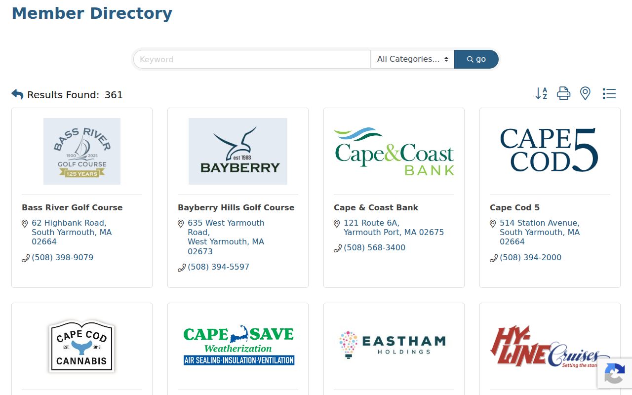
Use the Chamber result to identify a local organization or address lead, then verify it with the responsible office or official record. It should not be used to infer an individual's current residence or association membership.
Yarmouth Neighbor Source Comparison
Official records and commercial neighbor-lookup products are not interchangeable. Official sources identify their custodian, fields, date, and access limits. A commercial category may combine public and secondary data, carry old addresses, or merge people with similar names. Start with the official source that fits the question, then preserve the narrow label attached to the result.
| Source category | Best use for a Yarmouth block question | Important limit |
|---|---|---|
| GIS and assessor record | Find the parcel, mapped context, and owner of record | Not a survey and not proof of present occupancy |
| Registry deed or plan | Check recorded parties, instruments, and shared-line context | Name-indexed research image is not a clean official copy |
| Local voter list | Request public list fields for a specified date | Confidential and protected fields remain withheld |
| Commercial neighbor tool | Only a secondary lead that must be verified | May contain old, combined, or unverified associations |
The safest output is a short source matrix: parcel, source type, recorded date, public field, and limitation. That makes it clear whether the fact is an owner-of-record result, a historic address mention, a civic-area name, or a public local-list field. It also leaves room for the next official check when the evidence is incomplete.
Yarmouth Neighbor Lookup Limits
Massachusetts privacy protections apply to block research. The Address Confidentiality Program provides a substitute address and mail forwarding for eligible people, and SJC Rule 1:20 governs protected court addresses. Confidential voters and minors are excluded from ordinary voter access. Court papers can be impounded or sealed. Health-license, RMV, and vital-record rules also protect specific fields. Do not reproduce a sensitive address, full date of birth, phone number, email, or protected record just because a portal once displays it.
For an existing Yarmouth record, make a narrow request that identifies the record family, date window, parcel or street where relevant, and whether inspection or a copy is preferred. A public office need not create a new database or answer a broad research question. If material is withheld or redacted, ask the custodian to identify the applicable exemption and keep the request tied to the existing record.
Lawful use. Use Yarmouth neighbor records for personal, lawful community research and safety awareness. Never use them to surveil, threaten, stalk, harass, impersonate, or expose a protected person.